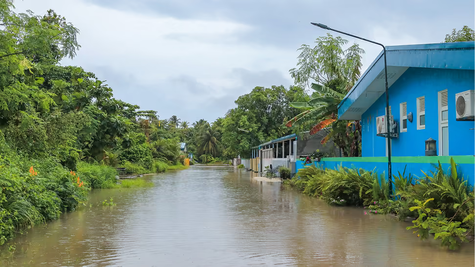
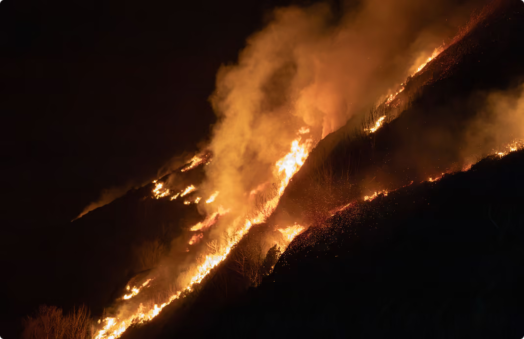
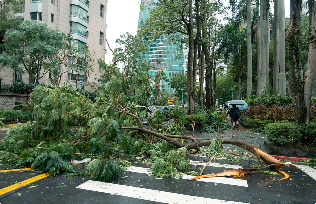
Ambee gives you hyperlocal, timestamped climate data across wildfire, natural disasters, and weather so exposure can be scored, modeled, verified, and monitored at the asset level.

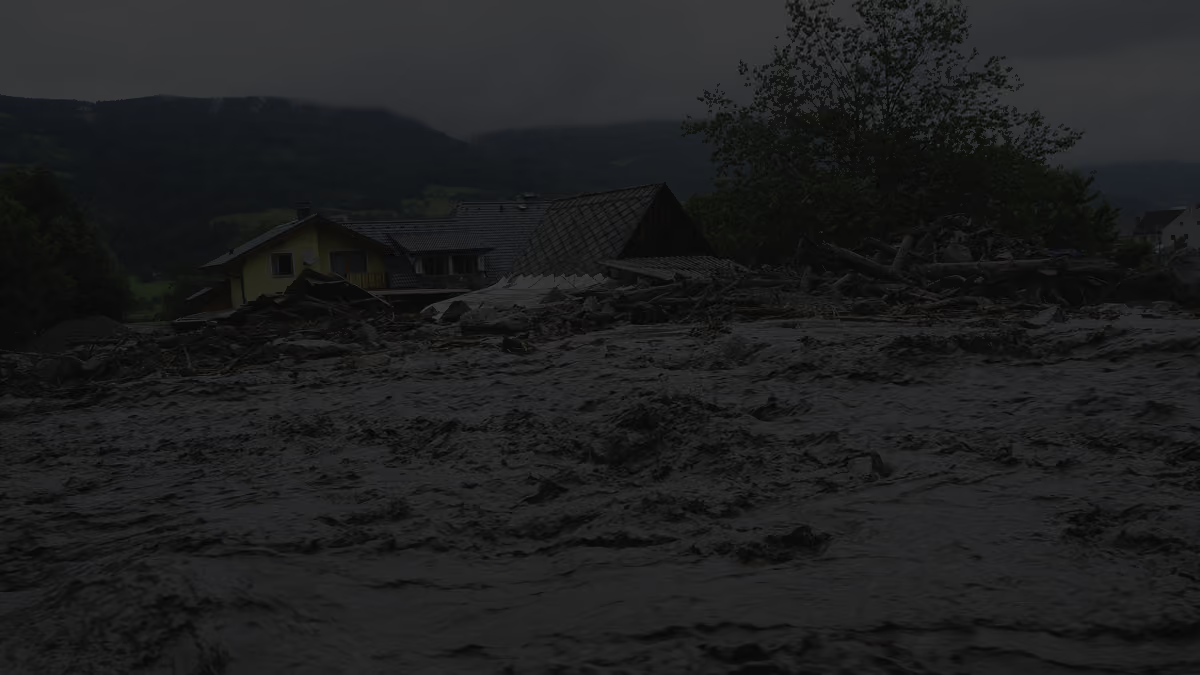
Risk models built on historical averages are losing ground. Wildfire boundaries shift, flood zones expand, and severe weather intensifies in areas previously considered stable. Portfolios priced on yesterday's data carry tomorrow's losses.
Swiss Re Institute, 2024
Marsh, 2025
Gallagher Re, 2025
Evaluate how climate exposure impacts assets, claims, and portfolio performance with geospatially resolved risk intelligence..
Most risk scoring still operates at the zip code, where localized exposure patterns are often lost. Ambee helps insurers assess wildfire proximity, flood history, and severe weather exposure at the exact lat/lon of an insured asset.

Ambee combines long-term disaster baselines with event-specific severity data and forward-looking forecasts to support more dynamic scenario modeling.

Claims decisions depend on knowing exactly what occurred at a specific place and time. Ambee provides timestamped environmental records across wildfire, weather, and natural disasters with severity data and geospatial boundaries tied to reported losses.

A portfolio that looked well-distributed two years ago may now carry significant exposure. Ambee helps insurers continuously monitor hazard exposure across portfolios and identify concentrations before they materialize into losses.