Resources /
Blogs
Devastating risks of global wildfires: How can tech help?
November 30, 2024
Vishnu

Technology helps manage wildfire risks by using data, AI technology, and active wildfire maps to predict where and when a fire will spread. These tools identify high-risk areas, forecast the intensity of the fire, and create alerts so people can evacuate quickly. For example, Ambee is creating a wildfire risk analytics tool using predictive analytics and a forest fire map to offer near real-time data, which is crucial since climate change could cause a 57% rise in global wildfires by the century's end.
{{key-insights}}
Climate change has already led to an increase in the length of wildfire seasons, frequency, and the area they spread across. The contributing factors include warmer springs, longer summer dry seasons, and drier soils and vegetation.
The graphic below, sourced via US EPA, provides a clear idea about the wildfire frequency in the United States from 1983 to 2021. These include all reported wildfires, which can be as small as just a few acres.

A UN report states that worsening heat and dryness could lead to a 57% rise in devastating global wildfires by the end of the century. The scientists warn that in coming decades, as climate change further intensifies, there is a high risk of a ‘global wildfire crisis’.
As climate change makes wildfire seasons longer and more devastating, predicting when and where they spread has become more crucial than ever. One way to do that is by using opportunities provided to us by technology.
Before heading towards what technology and data can do for wildfires, it’s essential to understand how they occur and how they affect lives, the economy, and our planet.
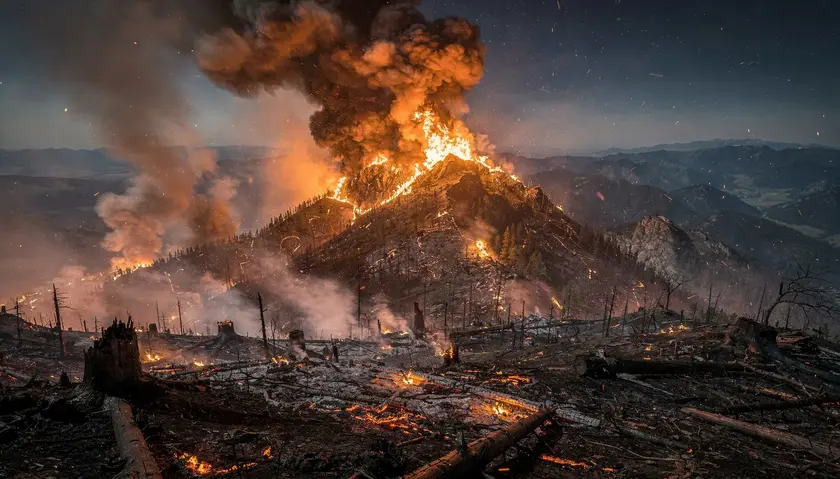
Historically speaking, wildfires are actually supposed to be beneficial for certain situations–clearing under brushes and triggering the release of seeds in some plant species. However, the growing occurrence and severity of wildfires, primarily due to human negligence, has destroyed land, wildlife, and vegetation, while polluting the air and water.

Wildfires can also cause air and water pollution, increasing health and economic costs. Moreover, fighting wildfires can be expensive, and taxpayers often bear the costs of fire suppression. Wildfires cost federal, state, and local governments millions for emergency assistance.
There are also an indirect economic impacts with more resources being allocated to fire control and suppression, leading to less availability of resources for more productive purposes. For example, the Pacific Gas and Electric Co. cut power for 87,000 customers in Northern California as a pre-emptive measure, leading to business and economic loss.

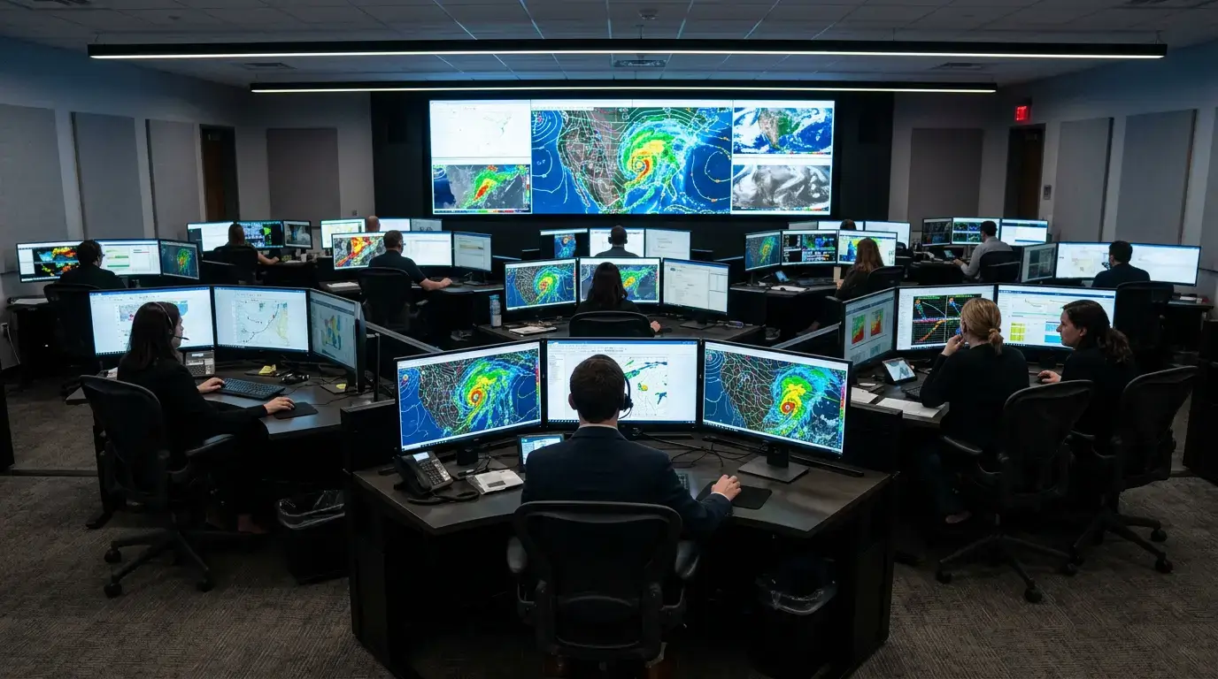
Taking preventative measures is the key to reducing the number of wildfires. Fortunately, technological advances have enabled the tracking and monitoring of wildfires using data, AI technology, and active wildfire maps. This data can include the location and intensity of a fire, the speed of its spread, and the environmental conditions that may have contributed to it.
Using technology, we can better predict the likelihood of a wildfire and take preventive measures to reduce its risks. While it’s difficult to predict the precise trigger of a fire event, the risk can be evaluated by understanding how climate, weather, and land cover impact fire behavior.
For starters, wildfire data can help identify areas most prone to fires. This can help us better manage those areas by thinning the trees, creating firebreaks, or using prescribed burns. It can also help determine conditions most favorable for fires, allowing us to take preventive measures such as reducing the risk of ignition.
Additionally, wildfire data can help forecast the spread and intensity of fire to evacuate people and animals quickly and guide firefighters to the most effective locations. Tracking wildfire data can help assess the damage to the environment, wildlife, and human health and empower future prevention efforts.
Monitoring the conditions that lead to wildfires using data and technology makes it possible to create alerts when conditions are favorable for a fire to occur. This could give people enough time to evacuate and take proper safety measures.
For businesses, tracking and analyzing wildfires is a must. This helps understand the risks it imposes on employee health, properties, business operations, and finance. Being ahead of wildfires means preventive measures can be taken to reduce their impact on businesses on time.
While solutions exist, there is a severe lack of accurate and efficient ones that can be utilized to plan or manage imposed risks. The available technology for wildfire models is informed by outdated assumptions, and the increasing complexity of wildfires needs a more informed and multi-modal approach.
At Ambee, we are creating just that.
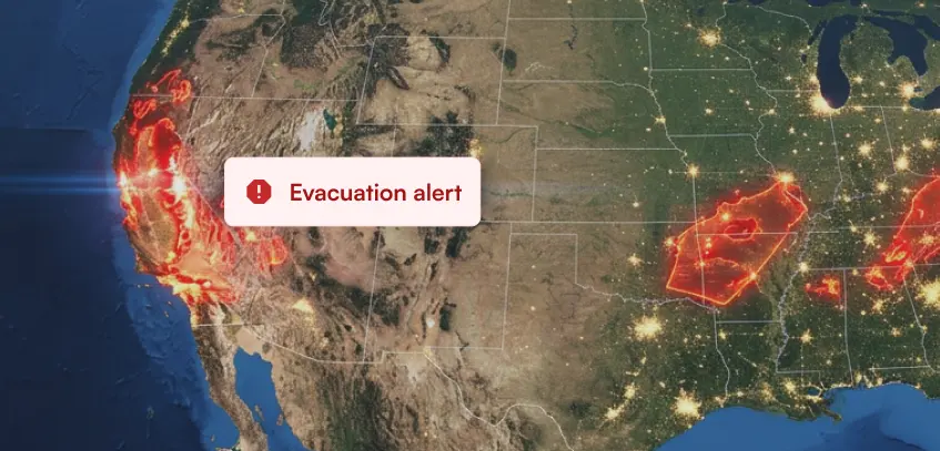
Ambee’s upcoming wildfire risk analytics tool uses current and local environmental factors and predictive analytics of fire behavior to provide near real-time active forest fire data visualized through a forest fire map. Refreshed hourly, the tool offers detailed information on fire risk levels, rate of spread, size, cause, and more.
The data is visualized through an interactive active wildfire heatmap to aid businesses and administrators in better understanding the risks of wildfires.

We are building a tool that will immensely help businesses with risk analytics to understand associated liabilities and risks better. If you are interested in learning more, check out our platform.
00:00
/
00:00
00:00
/
00:00
00:00
/
00:00
00:00
/
00:00