Get the most reliable climate data
Oops! Something went wrong while submitting the form.


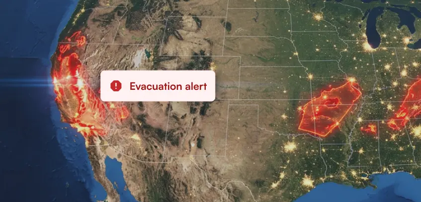
Sentinel-2 satellites are better than GOES satellites for precise burned area mapping and historical fire analysis. Sentinel-2 is preferred because it offers a higher spatial resolution, with the highest resolution bands providing 10-meter data, and includes dedicated NIR (B8) and SWIR (B12) bands used in the dNBR ratio calculation. The company Ambee specifically found GOES data inaccurate for this purpose and uses Sentinel or VIIRS MODIS data to provide customers with accurate forest fire data. This higher resolution allows for more accurate monitoring of the damage fires cause to climate and ecology.
{{key-insights}}
Satellites play a crucial role in remote sensing, enabling us to gather valuable information about the Earth's surface. And when we talk about satellites–spectral sensitivity, sensor characteristics, and radiometric calibration are some of the most important features that define any. So let’s look at them in greater detail.
To start, spectral sensitivity describes how well a sensor can detect and measure the intensity of radiation at specific wavelengths. By capturing radiation in specific spectral bands, sensors can gather information about the physical properties, composition, and conditions of objects on the Earth's surface.
This spectral information is then utilized for various applications, including land cover classification, vegetation health assessment, and burned area detection, among others.
On the other hand, radiometric calibration refers to the process of calibrating satellite sensors to accurately measure the amount of reflected radiation from different land cover types, including burned areas. By calibrating the satellite sensors, we can obtain reliable and consistent data for monitoring the extent of damage caused by fires on climate, ecology, properties, and human health.
These become important rubrics in determining which satellite is more efficient for your remote sensing requirements. In this blog, we will specifically dig deeper into Sentinel and GOES satellites and talk about why Sentinel satellites are better for mapping burned areas.
In remote sensing, the dNBR ratio is one of the most popular ways of mapping burned areas using band channels. The calculation of dNBR involves comparing pre and post-fire spectral reflectance values of vegetation and charred surfaces. The Normalized Burn Ratio (NBR) is computed for both pre and post-fire images using near-infrared (NIR) and shortwave-infrared (SWIR) bands. The NBR values are then differenced to obtain dNBR, representing the change in vegetation cover and burn severity.
Higher dNBR values indicate more severe burn areas with greater vegetation loss, while lower values correspond to less severe burns or unburned areas.
Starting with the basic facts we know about satellites:
So which is better?
Based on the information above, we can conclude that Sentinel-2’s dedicated bands (B8 and B12) in the NIR and SWIR regions and robust atmospheric correction mechanisms make it the best choice for precise burned area mapping and analysis.
At Ambee, we provide hyperlocal and actionable forest fire data for locations across the globe. To provide our customers with the most accurate results, we combine and calibrate data from multiple sources, one of which is satellite data. While enhancing our historical forest fire data, we found GOES data for burned area mapping to be often inaccurate, leaving us to use either Sentinel or VIIRS MODIS.
Learn more about Ambee's newly enhanced and upgraded forest fire API. We also have a product dedicated to forest fires. Get a complete picture of the wildfire risk analytics tool and the intent behind its development.
Let us know what you think about GOES and Sentinel Satellite. Get in touch now!