Get the most reliable climate data
Oops! Something went wrong while submitting the form.
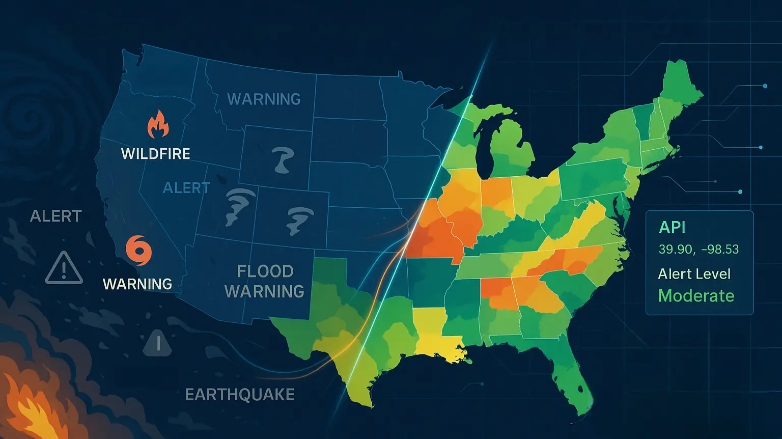


Ambee addresses the challenge of compliant customer engagement during severe weather by transforming complex, unstructured natural disaster data into structured, actionable intelligence. Ambee’s AI/ML models extract details, standardize units, and dynamically embed FEMA regulatory data, which is critical since FEMA issued 90 major disaster declarations in 2024. This allows enterprise partners to automatically avoid outreach in affected zones, ensuring regulatory compliance and reducing wasted spend.
{{key-insights}}
At Ambee, we believe physical risk intelligence must evolve as fast as the world around us. That means continuously advancing our datasets, adapting to real-world complexities, and ensuring our partners can deliver experiences that are not only effective but also compliant. With natural disasters and severe weather increasing in frequency, duration, and severity, the issue for businesses is how to effectively mitigate or capitalize on this increased risk while at the same time ensuring compliance.
Recently, we partnered with a U.S. leader in telemarketing and customer outreach. Their challenge was clear: deliver contextual, compliant engagement in a landscape where natural disasters and severe weather events are increasingly impacting and shaping customer behavior within regulatory frameworks.
Government agencies and reporting bodies rarely provide disaster data in developer-ready formats. Critical information such as impacted regions, severity, or duration often exists only in narrative text. For example:
A cyclone with peak wind speeds of 80 mph is expected to impact coastal counties over the next 12 hours.
For an enterprise engagement system, this type of report raises several questions: Which counties exactly? When does the event end? What are the probability and confidence levels? Is this a red alert or a low-level advisory? Without clear parameters, campaigns risk either being paused unnecessarily or, worse, continuing in places where they are non-compliant or tone-deaf.
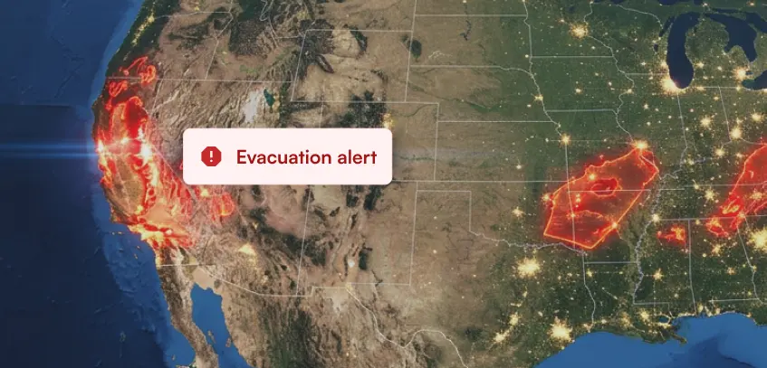
On top of this, many states in the U.S. prohibit promotional calls or messages when FEMA has declared an emergency. In 2024, FEMA issued a total of 90 major disaster declarations, which is nearly double the annual average and was reported by CNN and the International Institute for Environment and Development (IIED), and this trend is only expected to increase. For instance, New York’s Nuisance Call Act prohibits unsolicited sales calls during emergencies. Outreach campaigns therefore risked being non-compliant without a real-time regulatory layer.
To meet these challenges, we enhanced our natural disasters dataset with a set of powerful, ML and AI-driven capabilities tailored for enterprise-scale engagement.
Raw disaster reports are rarely designed for integration. Agencies and reporting bodies publish information in varying formats, often burying critical details inside long narrative descriptions. One source may describe a wildfire in acres, another in hectares, and another in square kilometers. Key attributes such as affected area or event end date are often missing altogether.
Ambee’s products address these inconsistencies by using advanced ML and AI models to extract the essential details, normalize units, and fill in gaps with intelligent estimates. The result is a consistent, analytics-grade structure that enterprises can rely on for decision-making and compliance.
“An earthquake of magnitude 5.2 struck 30 km north of City X at 10 km depth.”
“Heavy rainfall is expected in eastern districts, potentially causing flash floods.”
{
  "event": "earthquake",
  "magnitude": 5.2,
  "location": "City X, 30 km north",
  "depth_km": 10,
  "alert_level": "moderate",
  "status": "active",
  "estimated_end": "2025-08-21T18:00:00Z"
}Ambee’s API unifies global disaster signals through proprietary intelligence algorithms, providing consistent and actionable data you can build risk and predictive insights on.
- Chandrashekar D, VP of Engineering
For our enterprise partner, this meant campaigns could now adapt dynamically:
The result is a new standard in responsible engagement, a system that understands the world as it is and adjusts accordingly.
This collaboration reflects Ambee’s core philosophy: impact, compliance and risk mitigation is our bottom line. By tailoring our natural disaster offering to enterprise needs, we have not only advanced our dataset but also created a model for how climate intelligence can integrate seamlessly into everyday business systems, empowering organizations to act with precision, responsibility, and foresight.
Keep an eye out for our upcoming technical deep dive, where we will share the engineering story behind this work, including the semantic rules and standardization processes that make Ambee’s disaster intelligence truly enterprise-ready.
Interested in exploring how Ambee’s disaster intelligence can power your business? Get in touch with us.