Get the most reliable climate data
Oops! Something went wrong while submitting the form.


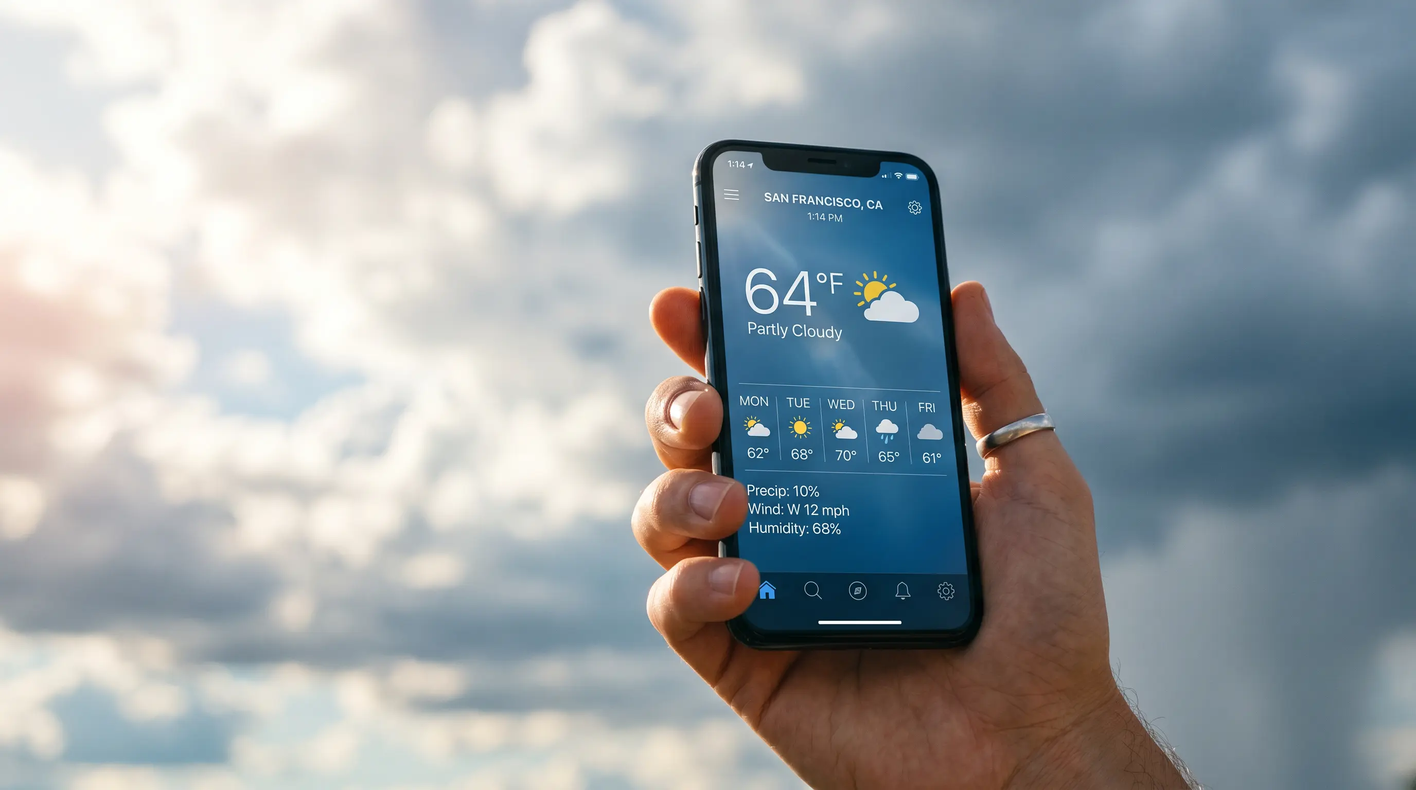
Need more accurate weather data than OpenWeatherMap? Ambee provides 500-meter resolution hyperlocal weather data, which far surpasses OpenWeatherMap's 1 - 11 km coverage. With real-time, historical, and forecast data across dedicated APIs for each dataset.
{{key-insights}}
In a world increasingly shaped by environmental volatility, weather data is a strategic advantage. The accuracy, granularity, and reliability of weather data can directly influence your operations, customer trust, and bottom line.
This holds across industries, from agriculture to retail.
OpenWeatherMap is a popular, free, and developer-friendly source for weather data. But as your business grows and you need more than general forecasts, like microclimate insights or hyperlocal trends, it starts to fall short.
That's where Ambee stands out.
OpenWeatherMap is widely known for offering free and paid APIs for weather data. It’s a popular choice for developers thanks to its basic feature set, accessible pricing, and straightforward integration.
But when businesses need accurate, hyperlocal insights to support real-time decisions, the limitations of OpenWeatherMap quickly become apparent. Here’s why many developers are now actively searching for an OpenWeatherMap alternative.
OpenWeatherMap typically provides data at a city-wide or multi-kilometer resolution, often with grids of 1 to 11 km. That means the weather data may reflect conditions several kilometers away from your actual location, missing critical microclimate variations such as isolated rain cells or fog.
Many users report discrepancies between OpenWeatherMap’s reported conditions and what’s observed on the ground, especially outside major urban areas. It relies heavily on public weather stations, which may be sparse or outdated in many regions.
Yes, OpenWeatherMap is free, but with caveats:
For production apps or scaling businesses, this often leads to costly plan upgrades or performance issues.
OpenWeatherMap does offer some historical data, but it’s not comprehensive or easily accessible, especially without a paid subscription. You may also face usage restrictions or find that the data lacks sufficient detail for long-term forecasting or climate modeling.
To access different environmental parameters, developers must call multiple APIs separately, such as for UV index, air pollution, and historical data. This leads to greater API complexity, increased latency, and higher costs.
OpenWeatherMap claims global coverage, but data quality varies widely. Remote areas, coastal regions, and small towns often have delayed updates or missing parameters, making it unreliable for enterprise-grade use.
Initial integration is simple, but accessing full-context data requires juggling multiple APIs, formats, and rate limits, raising dev effort and maintenance.
Bottom line: OpenWeatherMap may work well for hobby projects and simple dashboards. But for businesses that rely on real-time, hyperlocal, and high-resolution weather data, it simply falls short. That’s why more developers are turning to Ambee as the leading OpenWeatherMap alternative, finding the relief they need in a more reliable solution.
While many alternatives to OpenWeatherMap exist (including Visual Crossing, Meteosource, and Tomorrow.io), Ambee distinguishes itself as one of the best weather APIs through:
This makes Ambee the ideal choice for businesses requiring truly hyperlocal, accurate, and comprehensive environmental intelligence, providing them with the confidence they need in their data-driven decisions.

To sum it up: Choosing an alternative isn’t just feature-matching; it’s about solving real-world problems with better data and scalability. Innovative organizations seek unified platforms offering complementary capabilities across weather, air quality, pollen, and alerts, creating a cohesive environmental intelligence ecosystem that drives better outcomes. Ambee checks all these boxes and more.
As businesses outgrow basic weather APIs, they need more than just data; they need hyperlocal accuracy, reliable global coverage, and seamless developer integration. That’s where Ambee stands out as the ultimate OpenWeatherMap alternative.

The Ambee difference: 500m hyperlocal precision
Unlike traditional providers that deliver weather data at 1 - 11 km resolution, Ambee operates at a 500-meter (0.3 miles) spatial resolution across more than 150 countries.
Enables neighborhood-level insights, ideal for logistics, agriculture, smart cities, and healthcare.
Consistent global coverage
Ambee’s coverage spans 150+ countries (excluding oceans and polar regions), maintaining consistent resolution and update frequency across the board.
Whether you're building for New York, Nairobi, or New Delhi, you’ll get the same level of precision and reliability.
30+ Years of historical weather data
Ambee unlocks over three decades of historical weather data, available via API or downloadable datasets. Use it for:
Rich weather data in a single endpoint
Every Ambee API response includes all major weather variables, such as:
Weather data includes all major parameters in a single response.
Unified access to real-time, forecast, and historical data
Ambee simplifies integration with consistent API structures across its services that supports:
Scientifically validated, enterprise-proven
Ambee's data isn’t just fast; it’s backed by science. Its modeling engine and quality assurance process are trusted by industry leaders, including:
These global brands rely on Ambee for mission-critical decisions, validating the platform's scalability and reliability.
A risk-free and reliable experience
Start with Ambee’s free trial:
✅ 100 API records/day
✅ 15-day access
✅ No credit card required
Compare Ambee’s hyperlocal accuracy against your current provider and experience the difference in just one call.
Ambee’s accuracy isn’t just a product of resolution; it’s a result of scientific rigor, real-time validation, and innovative architecture. Here’s how Ambee ensures enterprise-grade reliability:
1. Multi-source data collection
This ensures coverage and redundancy, even in rural or underserved areas.
2. Hyperlocal modeling at 500m
Actionable data for smart cities, logistics, drone routing, and precision agriculture.
3. Continuous quality control
The result? Reliable, validated weather forecasts are updated continuously.
4. Meteorological integrity
Physics-aware forecasting = fewer false alerts or anomalies.
5. High-resolution forecasting
Offers both nowcasting and long-term planning, from events to energy.
6. Enterprise-scale reliability
Built for mission-critical weather applications.
7. Trusted by global leaders
Their choice signals Ambee’s credibility in data-driven decision-making.
To sum it up: Ambee combines hyperlocal resolution, scientific integrity, and enterprise-grade infrastructure to deliver a weather API you can genuinely rely on. If accuracy, performance, and future-ready data matter, Ambee is the definitive OpenWeatherMap alternative.
As a tool that can directly impact the bottom line, accuracy, resolution, coverage, and ease of integration are crucial to a good weather API. Ambee significantly outperforms OpenWeatherMap when these essentials are in question. Here are the features that can translate to a vital competitive edge:
Bottom line: If your app or business requires precision, simplicity, and a complete environmental context, Ambee offers a significantly better developer and data experience than OpenWeatherMap.
What makes Ambee more than just an OpenWeatherMap alternative? It’s not just about hyperlocal weather; it’s about offering a holistic environmental intelligence platform that goes far beyond temperature and rain.

Ambee offers separately accessible APIs for weather, air quality, pollen, and disasters; all designed with consistency in data structure and authentication to simplify integration.
How it matters:
No more juggling multiple vendors. Just one platform, one stack, one source of truth.
The more context you have, the better you can anticipate, personalize, and act.
As a developer or business leader, you don’t just need a weather API; you need multi-dimensional environmental intelligence. Ambee offers specialized APIs for each layer: weather, air quality, pollen, and disasters.
If you want scalable, hyperlocal, multi-layered insights from a single provider, its modular APIs allow you to choose and integrate the exact datasets you need, whether weather, air quality, or beyond.
Switching from OpenWeatherMap or any other provider? With Ambee, it's a seamless process that takes just minutes. Here's a simplified approach:
For detailed implementation instructions, code samples in your preferred language, and best practices for error handling, please refer to Ambee's weather API documentation. The documentation provides everything you need for a smooth integration experience.
Ready to experience the difference? Start your free weather API trial today and discover why leading companies are making the switch.